‘Geospatial Concepts Explained’ Workshop
Conducted by well known experts from the geospatial community, the training programme on geospatial technologies is being organised as a part of the 2016 GRASF-MEGF conference. Spread over two-days, the programme is designed for individuals who would like to learn more about the technologies and benefit from the same by utilising it in their work.
To register for this event, simply send in your nominations to vaibhav@geospatialmedia.net. Registration to the programme is free but is based on first come first serve basis. Registration would also entitle registered individuals to enter MEGF-GRASF exhibition and technical sessions.

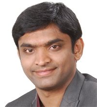
Prashanth Marpu
Assistant Professor - Water & Environmental
Engineering Program Masdar Institute
Abu Dhabi, UAE


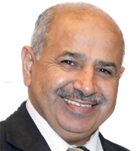
Hussein Harahsheh
General Manager
Global Scan Technologies
Dubai
UAE

| |||||||||||||||
| |||||||||||||||